
Butte-Anaconda Historic District (Additional Documentation) · National Register of Historic Places
Butte-Silver Bow’s story
162 years in pictures
21 places on the National Register of Historic Places.
- 1864Butte-Silver Bow is settled
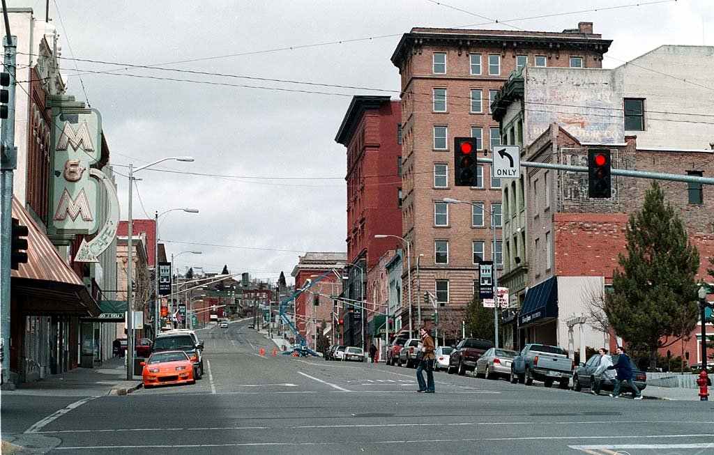
A town of 35,785, settled in 1864. Home to 21 places on the National Register of Historic Places.
The 3 things Butte-Silver Bow does most differently from other towns.
 Butte-Anaconda Historic District (Additional Documentation)
21 places on the National Register of Historic Places.
55.8% of the town is conserved land, across 16 parks and preserves.
Be the first to start the conversation.
Ordered by what stands out in Butte-Silver Bow. Another town gets a different order.
413 miles of trails across 16 parks and preserves.
| Biggest places to walk | Trails | Acres |
|---|---|---|
| 1. Fleecer Mountain Wildlife Management Area | 7.4 mi | 7,720 |
| 2. Stodden Park | 2.2 mi | 119 |
| 3. Humbug Spires Wilderness Study Area | 2 mi | 11,204 |
Butte-Silver Bow has cold winters and pleasant summers, with very little rain. A typical July afternoon reaches 79°, a January night drops to 14°, and about 15 inches of snow falls in a normal winter.
Butte Elem · 16 schools
| School | Grades | Students | |
|---|---|---|---|
| West Elementary School | PK–6 | 503 | |
| Hillcrest School | PK–6 | 412 | |
| Emerson School | PK–6 | 389 | |
| Whittier School | PK–6 | 383 | |
| Margaret Leary School | PK–6 | 359 | |
| Kennedy School | PK–6 | 219 |
2 colleges in town.
21 places in Butte-Silver Bow on the National Register of Historic Places.
Consolidated city-county in Montana, United States
Butte ( BYEWT) is a consolidated city-county in and the county seat of Silver Bow County, Montana, United States. In 1977, the city and county governments consolidated to form the sole entity of Butte-Silver Bow. The city covers 718 square miles (1,860 km2), and, according to the 2020 census, has a population of 34,494, making it Montana's fifth-largest city. It is served by Bert Mooney Airport with airport code BTM. Established in 1864 as a mining camp in the northern Rocky Mountains on the Continental Divide, Butte experienced rapid development in the late 19th century, and was Montana's first major industrial city. In its heyday between the late 19th and early 20th centuries, it was one …
From Wikipedia, licensed CC BY-SA 4.0 · facts via Wikidata (CC0)
3 towns share a border with Butte-Silver Bow.


