DuenwegMO
A town of 1,918. Healthier than 80% of U.S. towns.
Population
1,918
+33.4% since 2010
Median home value
$129K
Census ACS
Household income
$63K
median
Jobs based here
483
Balanced
What makes Duenweg stand out The thing Duenweg does most differently from other towns.
A growing town Duenweg has grown 33.4% since 2010 1,121 people in 2010; 1,918 today.
What’s changed most in Duenweg? 1,121 2010
1,495 2020
1,918 Today
U.S. Census 2010 & 2020 · ACS
Residents weigh in
Live in Duenweg? Is a C− for health right?
Agree Disagree
Your answer becomes a post in Duenweg’s Town Square.
Share something about Duenweg… Post Start a conversation
In the news: Head-on injury crash in Duenweg → How do you get to work from Duenweg? → What’s a piece of Duenweg history most people don’t know? → Who’s the most interesting person from Duenweg? →
Upcoming events
Nothing on the calendar. Add an event
The data Ordered by what stands out in Duenweg. Another town gets a different order.
Health
Healthier than 20% of U.S. towns Duenweg beats the Missouri average on 1 of 32 CDC measures and trails it on 6.
C− Health Grade
32 measures vs. Missouri
What stands out Duenweg MO Fewer adults who have had cancer 7.6% 8.6% More smokers 19.3% 16%
Freeman Health System - Freeman West
6.8 mi away · emergency room
3 of 3
care shortages: primary care, dental, mental health
45th
percentile among MO towns
Climate
Four seasons, hot summers Duenweg has chilly winters and warm summers. A typical July afternoon reaches 90°, a January night drops to 25°, and about 8 inches of snow falls in a normal winter.
8″ snow a winter
Typical low → high °F Winter 27–47°
Spring 46–68°
Summer 67–88°
Fall 48–70°
Oct 27
typical first frost
+0.6°
vs. the 20th-century average
Work & commute
Most working residents commute out of Duenweg Most working residents leave Duenweg for work: only 0% work in town. The top destinations are Joplin (40%), Carthage (12%) and Webb City (5%). Half commute less than 7 miles.
0% work in town
Where working residents work In Duenweg 0%
Joplin 40%
Carthage 12%
Webb City 5%
Springfield 4%
7 mi
median commute distance
Balanced
jobs vs. working residents
Safety
Crime reported in Duenweg Duenweg's reported crime rate is well below Missouri's. No violent crimes were reported in 2025.
Violent crime per 1,000 residents Duenweg 0
Missouri 4.3
U.S. 3.3
Property crime per 1,000 residents Duenweg 0
Missouri 16.9
U.S. 15.5
0
violent crimes reported in 2025
0
property crimes reported in 2025
Natural hazards
Moderate risk, with inland flooding at the top Expected storm and flood damage is higher than in 41% of U.S. communities.
41 risk score of 100
FEMA risk score
41 Moderate risk Lower Higher Inland flooding Tornadoes Heat waves
1
paid flood claims since 2021
4
federal disasters paid out here
Outdoors
1.6% of Duenweg is conserved land 0.1 miles of trails across 2 parks and preserves.
1.6% conserved
Green: conserved land · dashed: trails · numbers: the places below 1.6%
conserved · 35 of 2,134 acres
0.1 mi
of trails · 0 per sq mi
Biggest places to walk Trails Acres 1. Bartley Memorial Park — 30 2. Apple Park — 1
Housing
Homes in Duenweg sell for about $190K The median sale price was $190,000 in May 2026.
$190K median sale price
Market temperature
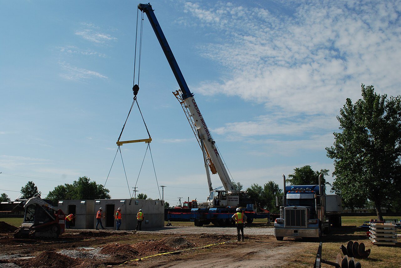
Seller’s market A seller's market Buyer’s Seller’s 2011 · Untitled photo · Wikimedia Commons
Duenweg’s story
Duenweg in pictures
2 postcards, papers and photographs from public archives.
Explore the history →
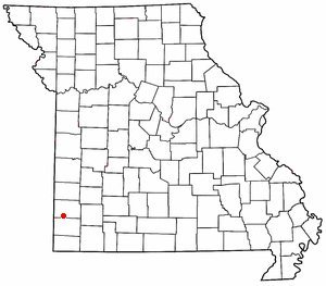
Duenweg ( dun-ə-WAYG) is a city in Jasper County, Missouri, United States. The population was 1,495 at the 2020 census. It is located within the Township of Joplin, a minor civil division of Jasper County, and is part of the Joplin, Missouri Metropolitan Statistical Area. It is located just to the east of the City of Joplin. Interstate 44 and Interstate 49 run concurrently across the southeast corner of town, and Business Loop 44 runs through the center of town.
From Wikipedia , licensed CC BY-SA 4.0 · facts via Wikidata (CC0)
Population 1,495
Area 2.4 sq mi
Elevation 1,079 ft
ZIP code 64841
Area code 417 Copyright © 2026 TownTapestry · Stitching communities together · In loving memory of John Cullinane whose interest in maps and discovering new places was contagious. Share TownTapestry to support usBrowse by state · Privacy · Terms