Sign inJoin
St Clair MI
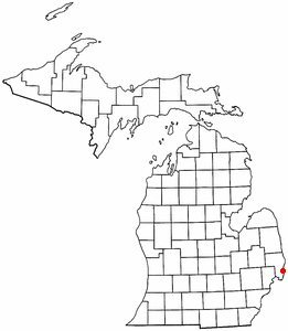
Michigan›St. Clair County

St. ClairMI

A town of 7,126, settled in 1828. A typical home worth about $322K.

5 bordering townsMap →
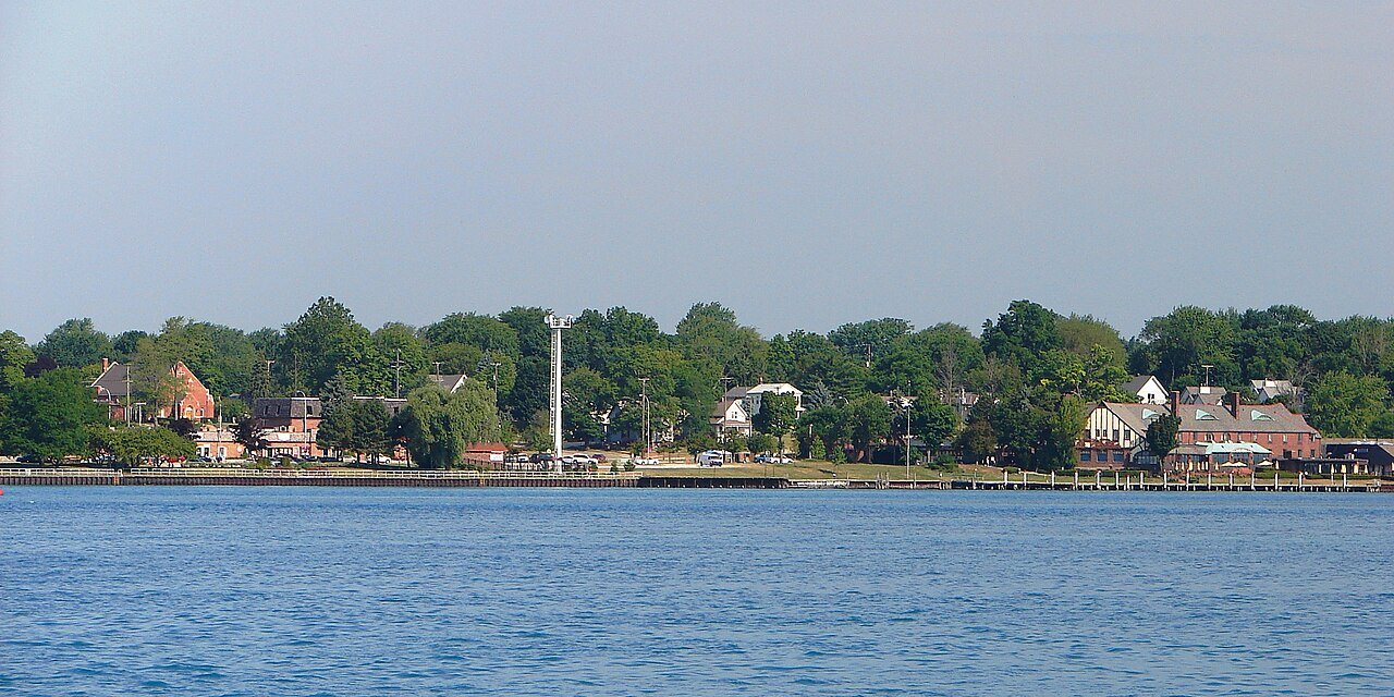
Photo: P199 · CC BY-SA 3.0
Population
7,126
+3.9% since 2010
Typical home
$322K
+4.5% in a year
Household income
$93K
median
Median age
47.2
years
Jobs based here
946
A commuter town

What makes St. Clair stand out

The 3 things St. Clair does most differently from other towns.

Picked automatically from the data
A commuter town

97% of working residents leave St. Clair for work

Where St. Clair’s working residents go each day. Line width shows the share.

9% → Port Huron Port Huron 9% 7% → St. Clair St. Clair 7% 6% → Detroit Detroit 6% 6% → Marysville Marysville 6% 3% → Clinton Clinton 3% 3% → Warren Warren 3% St. Clair · 3% stay
946jobs based in St. Clair
3%of working residents work in town
28 mimedian commute distance

Census LEHD 2021

St. Clair’s report card

See the data ↓

Now in St. Clair

Be the first to start the conversation.

Be the first neighbor to joinJoin St. Clair →
Residents weigh in
St. Clair is #3 of 719 in MI for “Longest growing season”. Fair?
Your answer becomes a post in St. Clair’s Town Square.
Start a conversation

The data

Ordered by what stands out in St. Clair. Another town gets a different order.

Housing

A typical St. Clair home is worth about $322K

The typical St. Clair home is worth about $322,000, up 4.5% in a year, 21% above the Michigan typical home.

$322KZillow home value

Typical home value

St. Clair$322K
Michigan$266K
+4.5%
value change, 1 year
Zillow Home Value Index · Redfin Data CenterHousing market →
Health

Healthier than 61% of U.S. towns

St. Clair beats the Michigan average on 6 of 32 CDC measures and trails it on 1.

BHealth Grade
32 measures vs. Michigan
6 better25 too close to call1 worse
What stands outSt. ClairMI
Fewer adults facing food insecurity11%15.4%
Fewer adults facing a utility shut-off6.3%8.7%
More adults who have had cancer10.3%8.9%
Ascension River District Hospital
6.5 mi away · emergency room
3 of 3
care shortages: primary care, dental, mental health
74th
percentile among MI towns
CDC PLACES 2025 · modeled estimates for adults · CMS · HRSAFull health report →
Schools

St. Clair’s public schools outperform 79% of Michigan districts

The public schools St. Clair’s kids attend, from kindergarten through graduation, outperform 79% of Michigan’s districts on state tests and graduation. Among towns with similar incomes, they rank near the top.

A−School Grade
SchoolGradesStudentsGrade
St Clair Middle School5–8614B−
St Clair High School9–12715B+
NCES · EDFacts · graded within MI on state tests and graduationAll 2 schools →
Work & commute

Most working residents commute out of St. Clair

Most working residents leave St. Clair for work: only 3% work in town. The top destinations are Port Huron (9%), St. Clair (7%) and Detroit (6%). Half commute less than 28 miles.

3%work in town

Where working residents work

In St. Clair3%
Port Huron9%
St. Clair7%
Detroit6%
Marysville6%
28 mi
median commute distance
946
jobs based in St. Clair
A commuter town
jobs vs. working residents
Census LEHD 2021 · ACSCommute map →
Natural hazards

Low risk, with inland flooding at the top

Expected storm and flood damage is higher than in 26% of U.S. communities.

26risk score of 100
FEMA risk score
26Low riskLowerHigher
Inland floodingCold wavesTornadoes
2
paid flood claims since 1986
FEMA National Risk Index · OpenFEMANatural hazards →
Climate

Four seasons, pleasant summers

St. Clair has chilly, snowy winters and pleasant summers. A typical July afternoon reaches 83°, a January night drops to 18°, and about 36 inches of snow falls in a normal winter.

36″snow a winter

Typical low → high °F

Winter21–34°
Spring37–56°
Summer61–80°
Fall44–61°
Nov 3
typical first frost
Apr 19
typical last frost
+1.7°
vs. the 20th-century average
NOAA U.S. Climate Normals, 1991–2020Full climate →
Outdoors

2.4% of St. Clair is conserved land

1.2 miles of trails across 2 parks and preserves.

2.4%conserved
Map of St. Clair: conserved land, trails and the top places to walk
Green: conserved land · dashed: trails · numbers: the places below
2.4%
conserved · 608 of 24,897 acres
1.2 mi
of trails · 0 per sq mi
Biggest places to walkTrailsAcres
1. St. Clair Township State Game Area—109
2. St. Clair Park—1
Trails & parks © OpenStreetMap contributors · Conserved land: USGS PAD-USParks & trails →
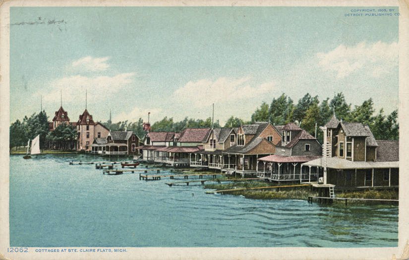
Cottages at Ste. Claire Flats (NBY 3141)
Cottages at Ste. Claire Flats (NBY 3141) · Wikimedia Commons
St. Clair’s story

198 years in pictures

4 postcards, papers and photographs from public archives, and 1 places on the National Register.

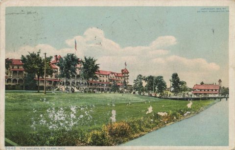
MIMap-doton-StClairThe Oakland (NBY 7526)
Explore the history →

Famous people from St. Clair

16 notable people were born in St. Clair.

See all 16 →

About St. Clair

City in Michigan, United States

Official town website ↗

St. Clair is a city in St. Clair County in the eastern "Thumb" of the U.S. state of Michigan. As of the 2020 census, St. Clair had a population of 5,464. The city is located on the St. Clair River near the southeast corner of St. Clair Township .

From Wikipedia, licensed CC BY-SA 4.0 · facts via Wikidata (CC0)

Established
1828
Population
5,464
Area
3.6 sq mi
Elevation
584 ft
ZIP code
48079

St. Clair’s neighbors

5 towns share a border with St. Clair.

Explore the map →

More about St. Clair

Still missing for St. Clair:upcoming events

Post to St. Clair

We’ll email a one-tap link to publish your post. No password, and nothing is public until you click it.
Already a member? Sign in
Photo of St. Clair

St. Clair, MI · Photo: P199 · CC BY-SA 3.0 · Source ↗