Sign inJoin
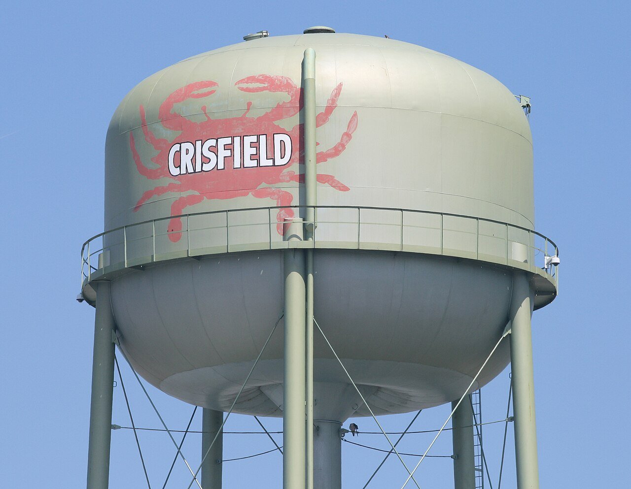
Crisfield, Maryland water tower

CrisfieldMD

A town of 2,499, settled in 1663. Home to 7 places on the National Register of Historic Places.

Photo: Acroterion · CC BY-SA 4.0
Population
2,499
−9.2% since 2010
Typical home
$170K
+1.9% in a year
Household income
$50K
median
Median age
31.3
years
Jobs based here
825
Balanced

What makes Crisfield stand out

The 3 things Crisfield does most differently from other towns.

Picked automatically from the data
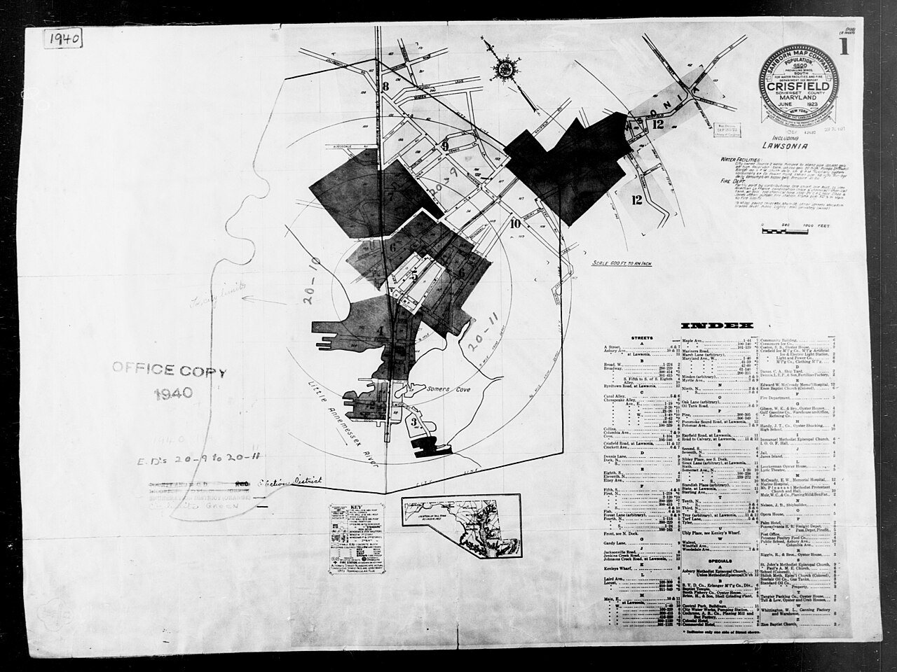
1940 Census Enumeration District Maps - Maryland - Somerset County - Crisfield - ED 20-9, ED 20-10, ED 20-11
1880 · 1940 Census Enumeration District Maps - Maryland - Somerset County - Crisfield - ED 20-9, ED 20-10, ED 20-11 · Wikimedia Commons
Crisfield’s story

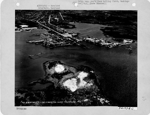
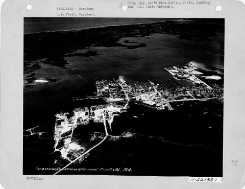
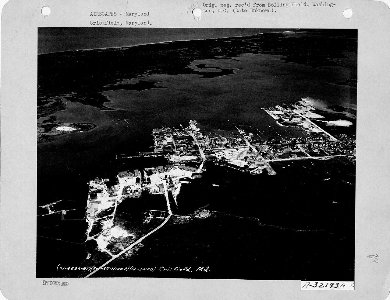
363 years in pictures

6 postcards, papers and photographs from public archives, and 7 places on the National Register.

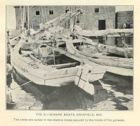
MarylandMarylandFMIB 35000 Scrape Boats
Explore the history →
By the sea

Crisfield lives by the ocean

Coastal flooding makes up 81% of the storm damage FEMA expects here.

81%of expected storm damage is coastal flooding
100thpercentile for coastal flood risk nationally
363paid flood-insurance claims since 1979
4storm & flood disasters paid out here
On the water
  • Janes Island State Park
Lately on the coast

FEMA National Risk Index · OpenFEMA · OpenStreetMap

Crisfield’s report card

See the data ↓

Now in Crisfield

Be the first to start the conversation.

Be the first neighbor to joinJoin Crisfield →
Residents weigh in
Live in Crisfield? Is a C− for its schools right?
Your answer becomes a post in Crisfield’s Town Square.
Start a conversation

The data

Ordered by what stands out in Crisfield. Another town gets a different order.

Housing

A typical Crisfield home is worth about $170K

The typical Crisfield home is worth about $170,000, up 1.9% in a year, 60% below the Maryland typical home.

$170KZillow home value

Typical home value

Crisfield$170K
Maryland$428K
+1.9%
value change, 1 year
Zillow Home Value Index · Redfin Data CenterHousing market →
Natural hazards

Very high risk, with coastal flooding at the top

Expected storm and flood damage is higher than in 99% of U.S. communities.

99risk score of 100
FEMA risk score
99Very high riskLowerHigher
Coastal floodingHurricanesInland flooding
363
paid flood claims since 1979
4
federal disasters paid out here
FEMA National Risk Index · OpenFEMANatural hazards →
Schools

Crisfield’s public schools outperform 16% of Maryland districts

The public schools Crisfield’s kids attend, from kindergarten through graduation, trail 84% of Maryland’s districts on state tests and graduation. Among towns with similar incomes, they rank near the bottom.

C−School Grade
SchoolGradesStudentsGrade
Carter G Woodson ElementaryPK–5512C
Crisfield Academy and High School8–12366B+
NCES · EDFacts · graded within MD on state tests and graduationAll 2 schools →
Health

Healthier than 21% of U.S. towns

Crisfield beats the Maryland average on 1 of 32 CDC measures and trails it on 19.

C−Health Grade
32 measures vs. Maryland
1 better12 too close to call19 worse
What stands outCrisfieldMD
More adults treating high blood pressure79.8%76.6%
More adults with COPD9.9%5.9%
Riverside Shore Memorial Hospital
20.8 mi away · emergency room
3 of 3
care shortages: primary care, dental, mental health
8th
percentile among MD towns
CDC PLACES 2025 · modeled estimates for adults · CMS · HRSAFull health report →
Climate

Four seasons, pleasant summers

Crisfield has mild winters and warm summers. A typical July afternoon reaches 88°, a January night drops to 30°, and about 8 inches of snow falls in a normal winter.

8″snow a winter

Typical low → high °F

Winter32–48°
Spring47–65°
Summer69–85°
Fall52–69°
Nov 11
typical first frost
Mar 31
typical last frost
+1.7°
vs. the 20th-century average
NOAA U.S. Climate Normals, 1991–2020Full climate →
Work & commute

About one in five working residents works right in Crisfield

Most working residents leave Crisfield for work: only 19% work in town. The top destinations are Salisbury (15%), Princess Anne (5%) and Baltimore (4%). Half commute less than 29 miles.

19%work in town

Where working residents work

In Crisfield19%
Salisbury15%
Princess Anne5%
Baltimore4%
Snow Hill1%
29 mi
median commute distance
825
jobs based in Crisfield
Balanced
jobs vs. working residents
Census LEHD 2023 · ACSCommute map →
Outdoors

9.7% of Crisfield is conserved land

0.6 miles of trails across 2 parks and preserves.

9.7%conserved
9.7%
conserved · 195 of 2,023 acres
0.6 mi
of trails · 0.2 per sq mi
Biggest places to walkTrailsAcres
1. Janes Island State Park—10
2. Crisfield Municipal Park—3
Trails & parks © OpenStreetMap contributors · Conserved land: USGS PAD-USParks & trails →
Safety

Crime reported in Crisfield

Crisfield's reported crime rate is below Maryland's. Most reported incidents are property crimes, mainly thefts. 10 violent crimes were reported in 2025.

Violent crime per 1,000 residents

Crisfield3.9
Maryland3.7
U.S.3.3

Property crime per 1,000 residents

Crisfield13.7
Maryland18.5
U.S.15.5
10
violent crimes reported in 2025
35
property crimes reported in 2025
FBI crime data, 2025 · crimes reported to policeFull safety report →
Maryland1917
From the archive · today’s picture

109 years ago in Crisfield

Maryland

Photo · Wikimedia Commons. A different picture from Crisfield’s archive appears here every day.

See all 6 archive items →

Landmarks

7 places in Crisfield on the National Register of Historic Places.

All landmarks →

About Crisfield

City in Maryland, United States

Official town website ↗

Crisfield is a city in Somerset County, Maryland, United States, located on the Tangier Sound, an arm of the Chesapeake Bay. The population was 2,515 at the 2020 census. It is included in the Salisbury, Maryland-Delaware Metropolitan Statistical Area. Crisfield has the distinction of being the southernmost incorporated city in Maryland. The site of today's Crisfield was initially a small fishing village called Annemessex Neck. During European colonization, it was renamed Somers Cove, after Benjamin Summers. When the business potential for seafood was discovered, John W. Crisfield decided to bring the Pennsylvania Railroad to Crisfield, and the quiet fishing town grew. Crisfield is now known…
From Wikipedia, licensed CC BY-SA 4.0 · facts via Wikidata (CC0)

Established
1663
Population
2,475
Area
3.2 sq mi
Elevation
3 ft
ZIP code
21817

More about Crisfield

Still missing for Crisfield:upcoming events

Post to Crisfield

We’ll email a one-tap link to publish your post. No password, and nothing is public until you click it.
Already a member? Sign in
Photo of Crisfield

Crisfield, MD · Photo: Acroterion · CC BY-SA 4.0 · Source ↗