
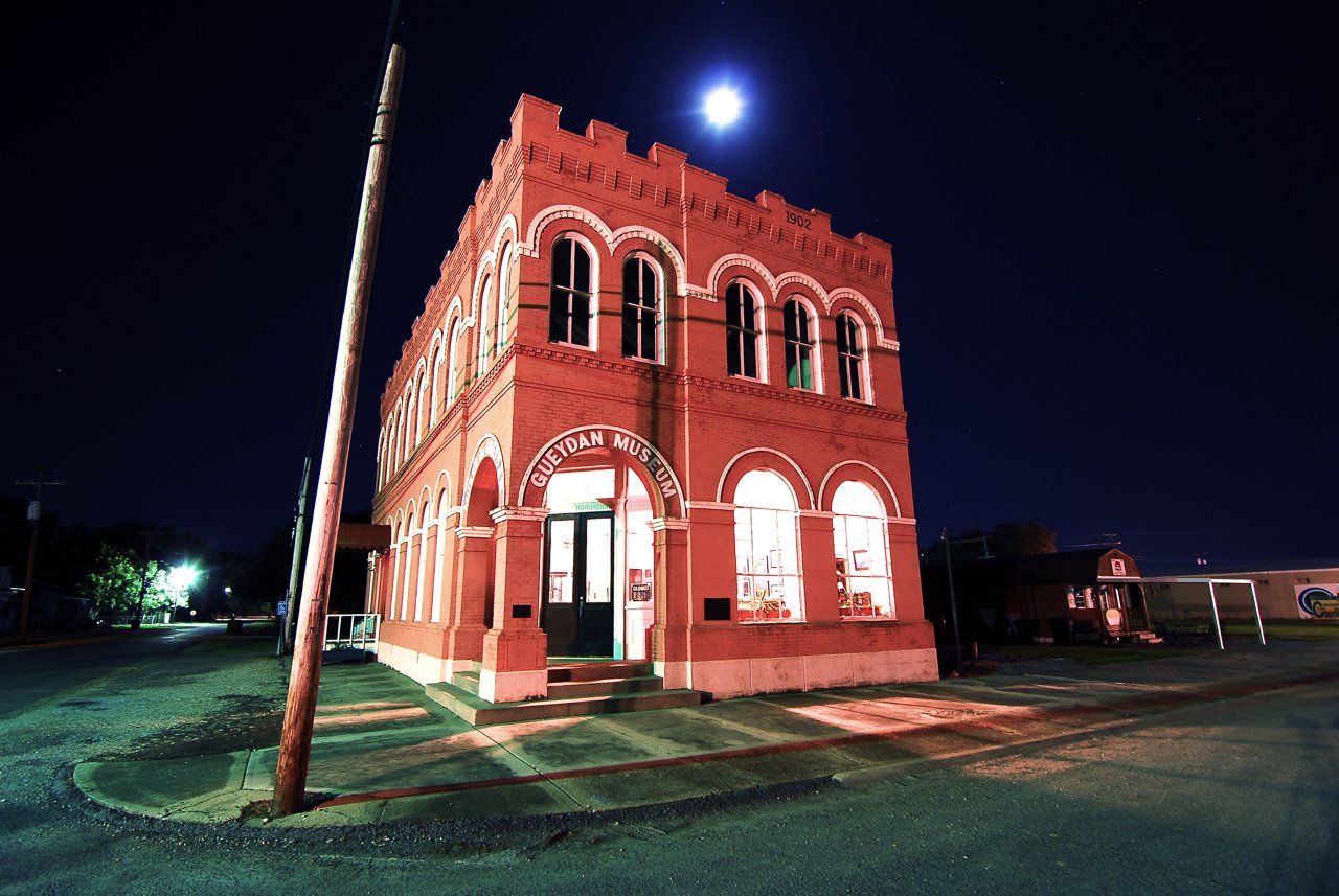
Bank of Gueydan · National Register of Historic Places
Gueydan’s story
142 years in pictures
1 places on the National Register of Historic Places.
- 1884Gueydan is settled
A town of 1,464, settled in 1884. Healthier than 95% of U.S. towns.
The 3 things Gueydan does most differently from other towns.
1,398 people in 2010; 1,464 today.
U.S. Census 2010 & 2020 · ACS
Be the first to start the conversation.
Nothing on the calendar.
Ordered by what stands out in Gueydan. Another town gets a different order.
Gueydan beats the Louisiana average on 2 of 32 CDC measures and trails it on 9.
| What stands out | Gueydan | LA |
|---|---|---|
| Fewer adults facing a utility shut-off | 10.6% | 12.4% |
| More adults treating high blood pressure | 82.7% | 78.8% |
| More adults with COPD | 12.1% | 8.5% |
The public schools Gueydan’s kids attend, from kindergarten through graduation, outperform 91% of Louisiana’s districts on state tests and graduation. Among towns with similar incomes, they rank near the top.
| School | Grades | Students | Grade |
|---|---|---|---|
| Jesse Owens Elementary School | PK–5 | 180 | B+ |
| Gueydan High School | 6–12 | 187 | B− |
Expected storm and flood damage is higher than in 86% of U.S. communities.
The typical Gueydan home is worth about $127,000, up 5.3% in a year, 41% below the Louisiana typical home.
Most working residents leave Gueydan for work: only 14% work in town. The top destinations are Lafayette (12%), Abbeville (9%) and Crowley (5%). Half commute less than 29 miles.
Gueydan has warm winters and warm summers, with plenty of rain. A typical July afternoon reaches 92°, a January night drops to 43°, and snow is almost unheard of.
In a town this size, neighbors are the best guide. Ask them anything.
1 places on the National Register of Historic Places.
Town in Louisiana, United States
Gueydan (local pronunciation [ge(ɪ)dɔ̃]) is a town in Vermilion Parish, Louisiana, United States. The population was 1,398 at the 2010 census, down from 1,598 in 2000. At the 2020 population estimates program, its population decreased to 1,328. It is part of the Abbeville micropolitan statistical area.
From Wikipedia, licensed CC BY-SA 4.0 · facts via Wikidata (CC0)