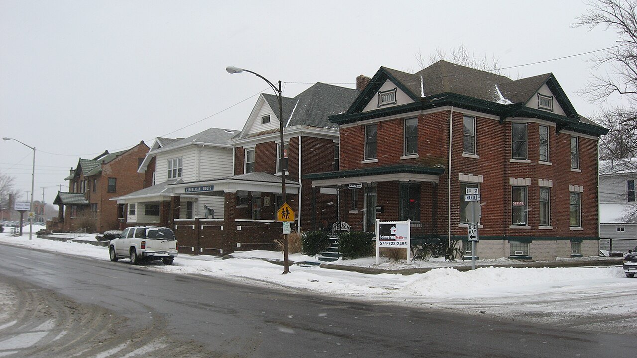
EelIN
A town of 18,518. Nearly 1.9% of it is conserved land.
What makes Eel stand out
The 3 things Eel does most differently from other towns.
9 miles of trails in Eel
1.9% of the town is conserved land, across 16 parks and preserves.
Eel’s report card
Now in Eel
What neighbors are saying. Town Square →
Local news
All →- Transition Scheme Announced for Lough Neagh Eel FisheryThe Fishing Daily · Sep 29
- Budget airlines add poke bowls, grilled eel and beer sets to entice passengersKorea JoongAng Daily · Sep 29
- Peru Obtains MSC Certification for Eel, Opening Up Japanese MarketData Portuaria · Sep 28
Upcoming events
Nothing on the calendar.
The data
Ordered by what stands out in Eel. Another town gets a different order.
1.9% of Eel is conserved land
9.0 miles of trails across 16 parks and preserves.
| Biggest places to walk | Trails | Acres |
|---|---|---|
| 1. Berry Patch | 1.9 mi | 74 |
| 2. Flory Preserve | 1.9 mi | 35 |
| 3. Camp Wildwood | 1.6 mi | 43 |
Healthier than 10% of U.S. towns
Eel beats the Indiana average on 0 of 32 CDC measures and trails it on 16.
| What stands out | Eel | IN |
|---|---|---|
| More uninsured adults | 13.6% | 8.9% |
| More older adults who have lost all their teeth | 21.6% | 15.4% |
| More adults facing food insecurity | 19.5% | 14.7% |
About one in four working residents works right in Eel
About one in 4 of Eel’s working residents works in town. The top destinations are Logansport (27%), Clinton (19%) and Deer Creek (5%). Half commute less than 4 miles.
Where working residents work
High risk, with inland flooding at the top
Expected storm and flood damage is higher than in 68% of U.S. communities.
Four seasons, pleasant summers
Eel has chilly winters and warm summers. A typical July afternoon reaches 84°, a January night drops to 18°, and about 19 inches of snow falls in a normal winter.
Typical low → high °F
Eel’s public schools outperform 36% of Indiana districts
The public schools Eel’s kids attend, from kindergarten through graduation, trail 64% of Indiana’s districts on state tests and graduation. Among towns with similar incomes, they rank near the bottom.
| School | Grades | Students | Grade |
|---|---|---|---|
| Landis Elementary School | PK–5 | 819 | C+ |
| Columbia Elementary School | K–5 | 432 | C− |
| Fairview Elementary School | PK–5 | 428 | B− |
| Logansport Intermediate School | 5–6 | 654 | C− |
| Logansport Junior High School | 7–8 | 641 | C− |
| Logansport Community High School | 9–12 | 1,148 | C+ |
About Eel
Township in Indiana, United States
Eel Township is one of fourteen townships in Cass County, Indiana. As of the 2020 census, its population was 18,571 (down from 18,767 at 2010) and contained 8,028 housing units.
From Wikipedia, licensed CC BY-SA 4.0 · facts via Wikidata (CC0)
- Population
- 18,571
- Area
- 9.8 sq mi
- Elevation
- 633 ft
Eel’s neighbors
6 towns share a border with Eel.