
El Paso Public Library · National Register of Historic Places
El Paso’s story
El Paso in pictures
2 places on the National Register of Historic Places.
Explore the history →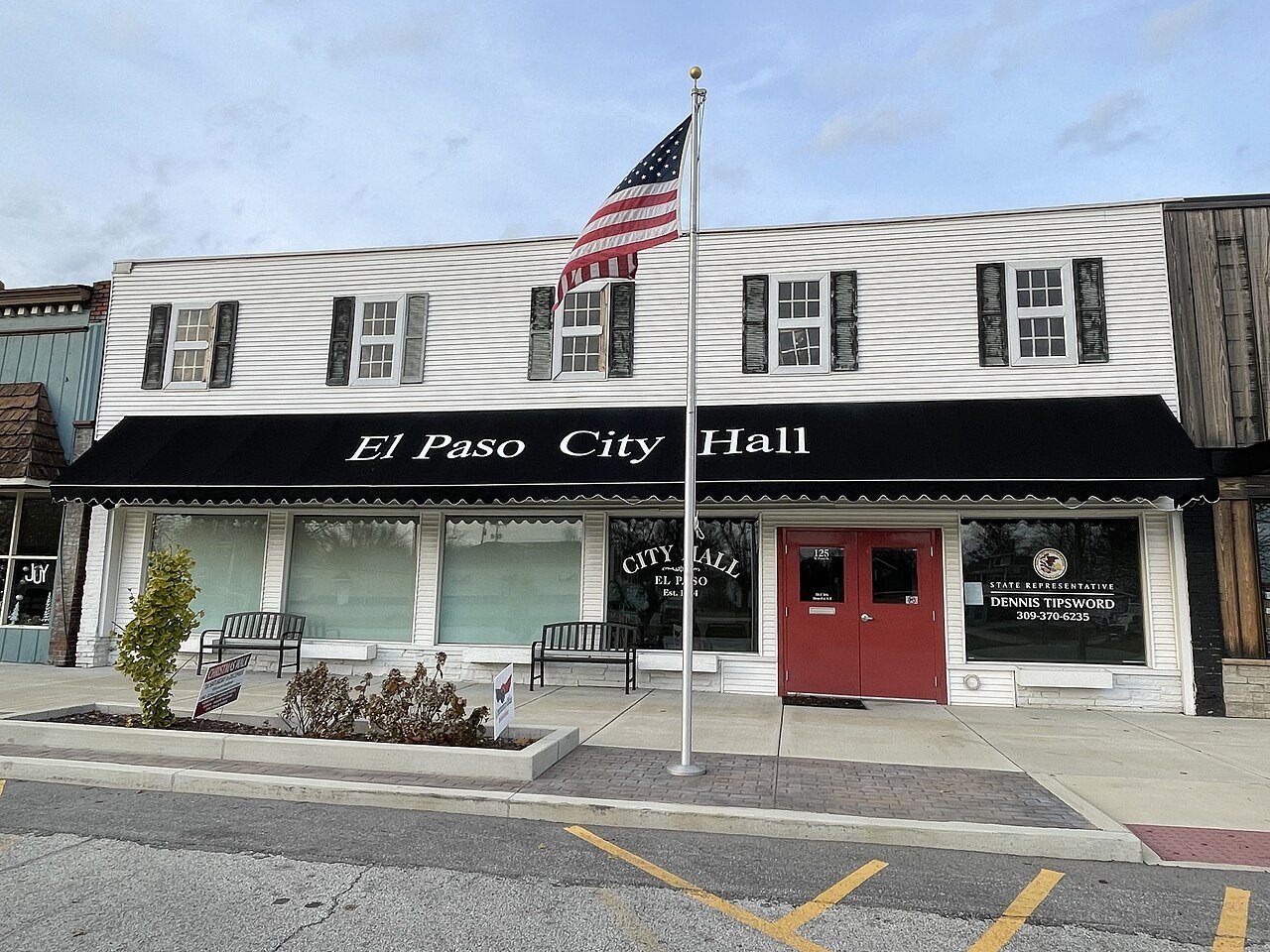
A town of 2,917. Nearly 3.6% of it is conserved land.
The thing El Paso does most differently from other towns.
Be the first to start the conversation.
Nothing on the calendar.
Ordered by what stands out in El Paso. Another town gets a different order.
The median sale price was $236,000 in May 2026.
1.0 miles of trails across 4 parks and preserves.
| Biggest places to walk | Trails | Acres |
|---|---|---|
| 1. Jefferson Park | 0.3 mi | 3 |
| 2. South Pointe Park | 0.1 mi | 46 |
| 3. Franklin Park | — | 3 |
Most working residents leave El Paso for work: only 18% work in town. The top destinations are Bloomington (21%), Normal (10%) and Peoria (4%). Half commute less than 18 miles.
El Paso has chilly winters and warm summers. A typical July afternoon reaches 85°, a January night drops to 16°, and about 28 inches of snow falls in a normal winter.
Expected storm and flood damage is higher than in 36% of U.S. communities.
El Paso beats the Illinois average on 0 of 32 CDC measures and trails it on 8.
| What stands out | El Paso | IL |
|---|---|---|
| More older adults who have lost all their teeth | 17.6% | 10.3% |
| More adults with COPD | 8.5% | 6.3% |
| More smokers | 15.8% | 12.1% |
2 places on the National Register of Historic Places.
Explore the history →2 places in El Paso on the National Register of Historic Places.
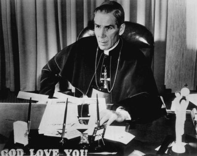
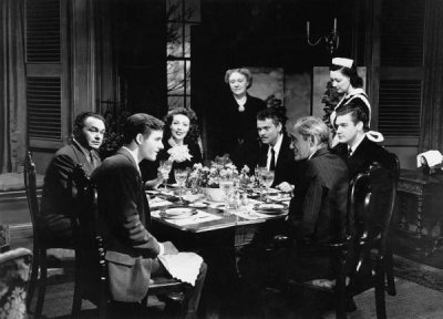
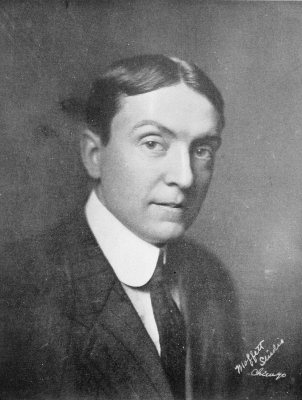
6 notable people were born in El Paso.
City in Illinois, United States
El Paso (Spanish for 'The Step') is a city in Woodford and McLean counties in the U.S. state of Illinois. The population was 2,756 at the 2020 census. The Woodford County portion of El Paso is part of the Peoria metropolitan area. El Paso is a city in central Illinois. After the construction of Interstate 39, which replaced the former alignment of U.S. Highway 51 through the area, the city’s development patterns shifted toward highway-oriented transportation infrastructure. Interstate 39 in Illinois was completed on October 31, 1992, with the final segment between Kappa and Illinois Route 116 near El Paso. The city's strategic location at the intersection of the Illinois Central Railroad an…
From Wikipedia, licensed CC BY-SA 4.0 · facts via Wikidata (CC0)
