Wethersfield

What’s happening
Weather
Forecast →Upcoming events
Put the next local happening — a market, a meeting, a concert — on the map.
Local news
Loading local headlines…
Headlines via Google News · Articles belong to their publishers.
The Wethersfield album
About Wethersfield
Town in Connecticut, United StatesWethersfield ( WEH-thers-feeld) is a town located in Hartford County, Connecticut, United States. It is located immediately south of Hartford along the Connecticut River. The town is part of the Capitol Planning Region. The population was 27,298 at the time of the 2020 census. Many records from colonial times spell the name "Weathersfield" and "Wythersfield", while Native Americans called it Pyquag. "Watertown" is a variant name. The neighborhood known as Old Wethersfield is the state's largest historic district, spanning 2 sq mi (5.2 km2) and containing 1,100 buildings, dating to the 17th, 18th and 19th centuries. The town is primarily served by Interstate 91.
From Wikipedia, licensed CC BY-SA 4.0 · facts via Wikidata (CC0)
How Wethersfield ranks
All →Town numbers
Schools in Wethersfield
All 10 schools →School data from the U.S. Department of Education (NCES). Ratings are from neighbors.
Where Wethersfield is
Explore map →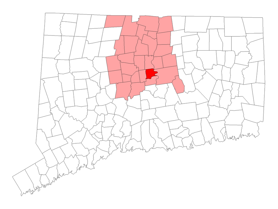

Location map