Save town Compare Needs More Love
Town guide

Old Lyme

A town of 7,679 people in Lower Connecticut River Valley Planning Region, Connecticut
Be the first to joinEarn karma for joining →
1

Now in Old Lyme

What’s happening this week

All posts →
This week+ What’s happening in Old Lyme?
From your neighbors

What’s happening

A preview of what neighbors share. Be the first to post in Old Lyme.

Weather

Forecast →
Coming up

Upcoming events

Nothing on the calendar yet

Put the next local happening — a market, a meeting, a concert — on the map.

Add an event →
Around town

Local news

All news →

Headlines via Google News · Articles belong to their publishers.

2

Around town

The places and views that make it Old Lyme

Explore places →
3

Know Old Lyme

The town at a glance, and the guide to how things work

Open the full guide →

About Old Lyme

Town in Connecticut, United States
1855Established
7,628Population
28.8 sq miArea
20 ftElevation

Old Lyme is a coastal town in New London County, Connecticut, United States, bounded on the west by the Connecticut River, on the south by the Long Island Sound, on the east by the town of East Lyme, and on the north by the town of Lyme. The town is part of the Lower Connecticut River Valley Planning Region. The main street of the town, Lyme Street, is a historic district with several homes once owned by sea captains. The town has had for many years a thriving art community. Its principal institutions include the Florence Griswold Museum, the Lyme Art Association, and the Lyme Academy of Fine Arts. The town is named after Lyme Regis, England. Several seasonal beach communities are in Old Ly…

Official town website ↗

From Wikipedia, licensed CC BY-SA 4.0 · facts via Wikidata (CC0)

Town numbers

ZIP code06371
Area code860
Famous people from Old LymeWriters, athletes, leaders and more who were born in Old Lyme.Meet them →

Where Old Lyme is

Explore map →
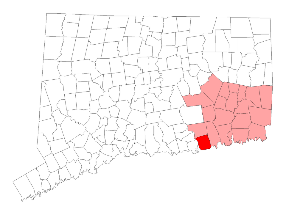
Locator map of Old Lyme
Wikimedia Commons · Map: VulcanTrekkie45 (talk) · Public domain

Location map

Connecticut · CT · Lower Connecticut River Valley Planning RegionTown boundary on OpenStreetMap →

How things work in Old Lyme

All explainers →
You’re browsing

Old Lyme

Connecticut · CT · Lower Connecticut River Valley Planning Region
View town boundary →
Township / city / CDP overlaps possible.
Loading boundary…

Old Lyme is your selected town. The feed includes posts assigned to this town, not a distance radius or ZIP code.

Neighborhoods narrow the feed further, while townwide announcements, events, and issues remain visible.

Boundary source: https://tigerweb.geo.census.gov/arcgis/rest/services/TIGERweb/Places_CouSub_ConCity_SubMCD/MapServer/15 · 2025-01-01