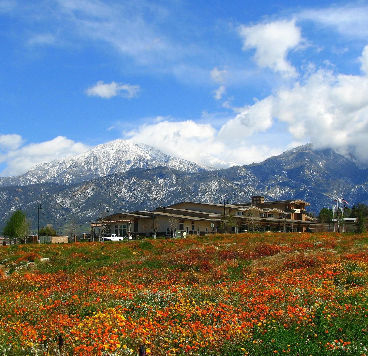
YucaipaCA
A city of 54,421, settled in 1989. Public schools that outperform most of California.
What makes Yucaipa stand out
The 3 things Yucaipa does most differently from other towns.
Crafton Hills College calls Yucaipa home
Yucaipa’s report card
Now in Yucaipa
What neighbors are saying. Town Square →
Local news
All →- Yucaipa vs Citrus Valley - Boys Varsity Basketball 01/13/2027 | Live & On DemandNFHS Network · Sep 25
- Yucaipa vs Beaumont - Girls Varsity Volleyball 09/23/2026 | Watch Live & On DemandNFHS Network · Sep 23
- Yucaipa vs La Quinta - Boys Freshman Basketball 12/17/2026 | Watch Live & On DemandNFHS Network · Sep 22
Upcoming events
Nothing on the calendar.
The data
Ordered by what stands out in Yucaipa. Another town gets a different order.
Yucaipa’s public schools outperform 11% of California districts
The public schools Yucaipa’s kids attend, from kindergarten through graduation, trail 89% of California’s districts on state tests and graduation. Among towns with similar incomes, they rank near the bottom.
| School | Grades | Students | Grade |
|---|---|---|---|
| Inland Leaders Charter | K–8 | 997 | A |
| Competitive Edge Charter Academy (CECA) | K–8 | 717 | Not graded |
| Wildwood Elementary | K–5 | 607 | Not graded |
| Chapman Heights Elementary | K–5 | 597 | Not graded |
| Ridgeview Elementary | K–5 | 567 | Not graded |
| Valley Elementary | K–5 | 518 | Not graded |
12% of Yucaipa is conserved land
42 miles of trails across 13 parks and preserves.
| Biggest places to walk | Trails | Acres |
|---|---|---|
| 1. Wildwood Canyon State Park | 6.2 mi | 832 |
| 2. El Dorado Ranch Park | 3.2 mi | 331 |
| 3. Yucaipa Community Park | 1.2 mi | 33 |
Very high risk, with earthquakes at the top
Expected storm and flood damage is higher than in 98% of U.S. communities.
A typical Yucaipa home is worth about $573K
The typical Yucaipa home is worth about $573,000, up 2% in a year, 25% below the California typical home.
Typical home value
Healthier than 62% of U.S. towns
Yucaipa beats the California average on 2 of 32 CDC measures and trails it on 4.
| What stands out | Yucaipa | CA |
|---|---|---|
| Fewer adults facing food insecurity | 15.7% | 17.9% |
| Fewer adults facing housing insecurity | 13.1% | 14.9% |
| More adults who have had cancer | 8% | 6.4% |
About one in nine working residents works right in Yucaipa
Most working residents leave Yucaipa for work: only 11% work in town. The top destinations are San Bernardino (11%), Redlands (10%) and Riverside (5%). Half commute less than 17 miles.
Where working residents work
Mild winters, hot summers
Yucaipa has warm winters and hot summers, with very little rain. A typical July afternoon reaches 96°, a January night drops to 41°, and snow is almost unheard of.
Typical low → high °F
Crime reported in Yucaipa
Yucaipa's reported crime rate is well below California's. Most reported incidents are property crimes, mainly thefts. 111 violent crimes were reported in 2025.
Violent crime per 1,000 residents
Property crime per 1,000 residents
89% of working residents leave Yucaipa for work
Where Yucaipa’s working residents go each day. Line width shows the share.
Census LEHD 2023
Famous people from Yucaipa
3 notable people were born in Yucaipa.


About Yucaipa
City in California, United States
Yucaipa (Serrano: Yukaipa't) is a city located 10 miles (16 km) east of San Bernardino, in the Inland Empire region of San Bernardino County, California, United States, on the eastern most edge of the Greater Los Angeles area. The population was 54,542 at the 2020 census, up from 51,367 at the 2010 census. Yucaipa has the distinction of being the longtime home to a large population of Serrano Native Americans.
From Wikipedia, licensed CC BY-SA 4.0 · facts via Wikidata (CC0)
- Established
- 1989
- Population
- 54,542
- Area
- 28 sq mi
- Elevation
- 2,618 ft
- ZIP code
- 92399
- Area code
- 909
Yucaipa’s neighbors
4 towns share a border with Yucaipa.