Population
11,946
−10.2% since 2010
Typical home
$424K
+0.7% in a year
Household income
$73K
median
Jobs based here
4,757
Balanced
What makes Tehachapi stand out The 3 things Tehachapi does most differently from other towns.
A shrinking town Tehachapi has shrunk 10.2% since 2010 14,414 people in 2010; 11,946 today.
What’s changed most in Tehachapi? 14,414 2010
12,939 2020
11,946 Today
U.S. Census 2010 & 2020 · ACS
Residents weigh in
Tehachapi is #790 of 816 in CA for “Fastest growing”. Fair?
Agree Disagree
Your answer becomes a post in Tehachapi’s Town Square. Ask me another →
Share something about Tehachapi… Post Start a conversation
In the news: Tehachapi vs Bakersfield - Girls Varsity Volleyball 09/24/2026 | Watc… → Is Tehachapi still affordable for young families? → How do you get to work from Tehachapi? → How does Tehachapi prepare for bad weather? →
Upcoming events
Nothing on the calendar. Add an event
The data Ordered by what stands out in Tehachapi. Another town gets a different order.
Housing
A typical Tehachapi home is worth about $424K The typical Tehachapi home is worth about $424,000, up 0.7% in a year, 44% below the California typical home.
$424K Zillow home value
Typical home value Tehachapi $424K
California $764K
Market temperature
Balanced A seller's market Buyer’s Seller’s +0.7%
value change, 1 year
Outdoors
1.8% of Tehachapi is conserved land 15 miles of trails across 5 parks and preserves.
#252 for trails in CA
Green: conserved land · dashed: trails · numbers: the places below 1.8%
conserved · 118 of 6,615 acres
15 mi
of trails · 1.5 per sq mi
Biggest places to walk Trails Acres 1. West Park — 14 2. Philip Marx Central Park — 4 3. Aviator Park and Campground — 1
Schools
Tehachapi’s public schools outperform 48% of California districts The public schools Tehachapi’s kids attend, from kindergarten through graduation, trail 52% of California’s districts on state tests and graduation. Among towns with similar incomes, they sit near the middle.
B− School Grade
Work & commute
About one in five working residents works right in Tehachapi About one in 5 of Tehachapi’s working residents works in town. The top destinations are Bakersfield (9%), Los Angeles (6%) and Golden Hills (4%). Half commute less than 38 miles.
22% work in town
Where working residents work In Tehachapi 22%
Bakersfield 9%
Los Angeles 6%
Golden Hills 4%
Mojave 4%
38 mi
median commute distance
4,757
jobs based in Tehachapi
Balanced
jobs vs. working residents
Natural hazards
Very high risk, with wildfire at the top Expected storm and flood damage is higher than in 90% of U.S. communities.
90 risk score of 100
FEMA risk score
90 Very high risk Lower Higher Wildfire Inland flooding Earthquakes
1
paid flood claims since 1983
3
federal disasters paid out here
Safety
Less crime per resident than 17% of U.S. towns Tehachapi reports more crime per resident than most U.S. towns we grade: about 83% report less.
C− Safety Grade
Violent crime per 1,000 residents Tehachapi 3.9
California 4.3
U.S. 3.3
Property crime per 1,000 residents Tehachapi 16.5
California 18.2
U.S. 15.5
17th
percentile among U.S. towns we grade
23rd
percentile among CA towns
42
violent crimes reported in 2025
176
property crimes reported in 2025
Health
Healthier than 37% of U.S. towns Tehachapi beats the California average on 0 of 32 CDC measures and trails it on 13.
C+ Health Grade
32 measures vs. California
What stands out Tehachapi CA More smokers 15.2% 10.9% More adults facing a utility shut-off 9.9% 7.3% More uninsured adults 14.2% 10.6%
Adventist Health Tehachapi Valley
3.2 mi away · emergency room
3 of 3
care shortages: primary care, dental, mental health
29th
percentile among CA towns
Climate
Four seasons, hot summers Tehachapi has mild winters and warm summers, with very little rain. A typical July afternoon reaches 89°, a January night drops to 33°.
89° summer high
Typical low → high °F Winter 33–53°
Spring 42–65°
Summer 61–87°
Fall 47–72°
Oct 26
typical first frost
+1.9°
vs. the 20th-century average
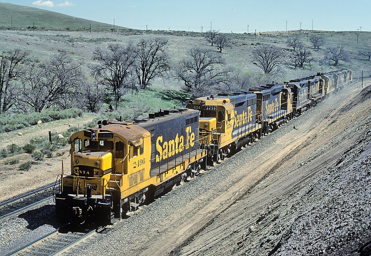
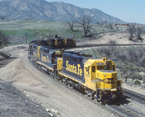
1980 · A Very Interesting Santa Fe Light Engine Set -- 2 Photos · Wikimedia Commons
Tehachapi’s story
150 years in pictures
12 postcards, papers and photographs from public archives, and 2 places on the National Register.
Explore the history →
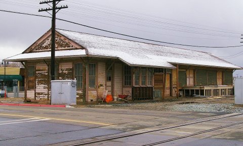
Landmarks 2 places in Tehachapi on the National Register of Historic Places.
All landmarks → Famous people from Tehachapi 4 notable people were born in Tehachapi.
See all 4 →
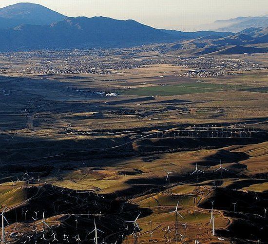
Tehachapi ( ; Kawaiisu: Tihachipia, meaning "hard climb") is a city in Kern County, California, United States, in the Tehachapi Mountains, at an elevation of 3,970 feet (1,210 m), between the San Joaquin Valley and the Mojave Desert. Tehachapi is 35 miles (56 km) east-southeast of Bakersfield, and 20 miles (32 km) west of Mojave. According to the United States Census Bureau, the city has a total area of 10 square miles (26 km2). As of the 2020 census, Tehachapi had a population of 12,939. The Tehachapi area is known for the nearby Tehachapi Loop (a popular railfan site), the Pacific Crest Trail and for the favorable weather conditions for the aerial sport of gliding.
From Wikipedia , licensed CC BY-SA 4.0 · facts via Wikidata (CC0)
Established 1876
Population 12,939
Area 10 sq mi
Elevation 3,970 ft
ZIP code 93561, 93581
Area code 661 Copyright © 2026 TownTapestry · Stitching communities together · In loving memory of John F. Cullinane Browse by state · Privacy · Terms