Petaluma

What’s happening
Weather
Forecast →Upcoming events
Put the next local happening — a market, a meeting, a concert — on the map.
Local news
Headlines via Google News · Articles belong to their publishers.
The Petaluma album
About Petaluma
City in California, United StatesPetaluma is a city in Sonoma County, California, United States, located in the North Bay region of the San Francisco Bay Area. Its population was 59,776 according to the 2020 census. Petaluma's name comes from the Miwok village named Péta Lúuma that was located on the banks of the Petaluma River. The modern city originates in Rancho Petaluma, granted in 1834 to famed Californio statesman Mariano Guadalupe Vallejo, considered to be the founder of Petaluma. Today, Petaluma is known for its well-preserved historic center and as a local hub for the Petaluma Valley region of Sonoma County.
From Wikipedia, licensed CC BY-SA 4.0 · facts via Wikidata (CC0)
How Petaluma ranks
All →Town numbers
Famous people from Petaluma
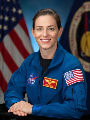
See all 51 →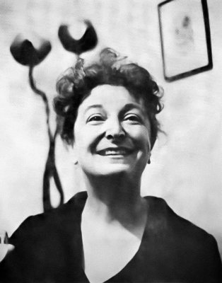


Schools in Petaluma
All 33 schools →School data from the U.S. Department of Education (NCES). Ratings are from neighbors.
Where Petaluma is
Explore map →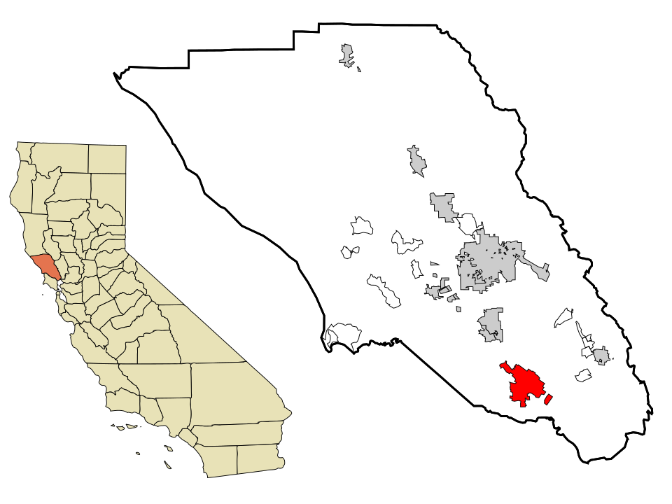

Location map