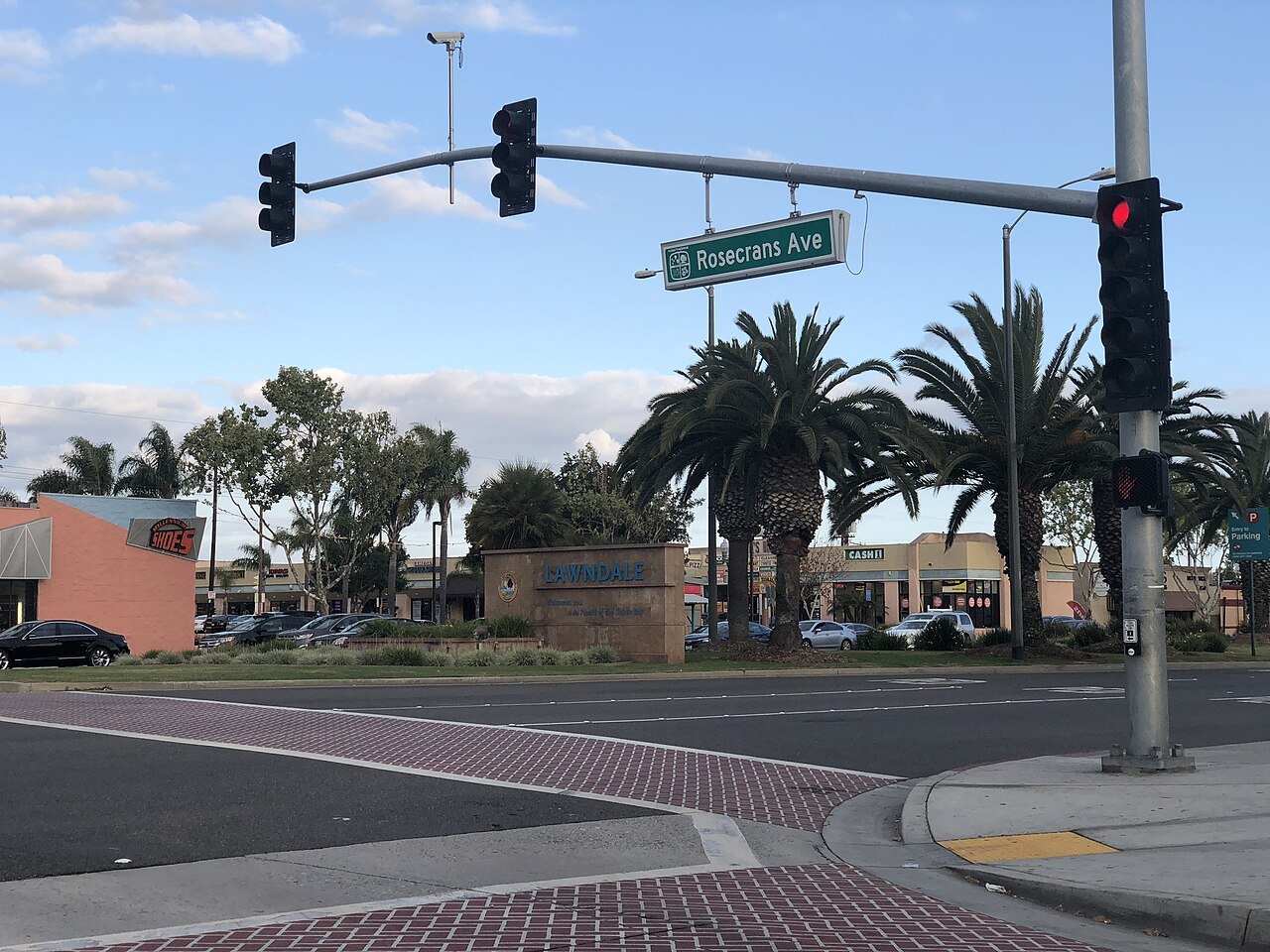
LawndaleCA
A town of 30,781, settled in 1959. Nearly 2.3% of it is conserved land.
What makes Lawndale stand out
The 3 things Lawndale does most differently from other towns.
96% of working residents leave Lawndale for work
Where Lawndale’s working residents go each day. Line width shows the share.
Census LEHD 2023
Lawndale’s report card
Now in Lawndale
Be the first to start the conversation.
Weather
Forecast →Local news
All →- Lawndale vs Hawthorne - Girls Varsity Basketball 01/13/2027 | Watch Live & On DemandNFHS Network · Sep 29
- Joshua McCarthy - Lawndale Cardinals Boys Basketball (Lawndale, CA)Sports Illustrated · Sep 23
- Lawndale vs ALHS - Girls Varsity Volleyball 09/23/2026 | Watch Live & On DemandNFHS Network · Sep 23
Upcoming events
Nothing on the calendar.
The data
Ordered by what stands out in Lawndale. Another town gets a different order.
2.3% of Lawndale is conserved land
1.0 miles of trails across 5 parks and preserves.
| Biggest places to walk | Trails | Acres |
|---|---|---|
| 1. Jane Addams Park | 0.5 mi | 5 |
| 2. Rogers-Anderson Park | 0.2 mi | 11 |
| 3. William Green Park | — | 4 |
Most working residents commute out of Lawndale
Most working residents leave Lawndale for work: only 4% work in town. The top destinations are Los Angeles (27%), Torrance (7%) and El Segundo (4%). Half commute less than 10 miles.
Where working residents work
Healthier than 39% of U.S. towns
Lawndale beats the California average on 3 of 32 CDC measures and trails it on 19.
| What stands out | Lawndale | CA |
|---|---|---|
| Fewer adults who have had cancer | 4.4% | 6.4% |
| Fewer adults with arthritis | 18.1% | 20.8% |
| More adults facing food insecurity | 27.6% | 17.9% |
Very high risk, with inland flooding at the top
Expected storm and flood damage is higher than in 97% of U.S. communities.
Lawndale’s public schools outperform 42% of California districts
The public schools Lawndale’s kids attend, from kindergarten through graduation, trail 58% of California’s districts on state tests and graduation. Among towns with similar incomes, they rank near the bottom.
| School | Grades | Students | Grade |
|---|---|---|---|
| William Anderson Elementary | K–5 | 572 | Not graded |
| William Green Elementary | K–5 | 516 | Not graded |
| Billy Mitchell Elementary | K–5 | 471 | C |
| Lucille J. Smith Elementary | K–5 | 331 | Not graded |
| Will Rogers Middle | 6–8 | 799 | D− |
| Jane Addams Middle | 6–8 | 644 | D− |
Less crime per resident than 15% of U.S. towns
Lawndale reports more crime per resident than most U.S. towns we grade: about 85% report less.
Violent crime per 1,000 residents
Property crime per 1,000 residents
Mild winters, pleasant summers
Lawndale has warm winters and pleasant summers, with very little rain. A typical July afternoon reaches 77°, a January night drops to 49°, and snow is almost unheard of.
Typical low → high °F
A typical Lawndale home is worth about $775K
The typical Lawndale home is worth about $775,000, up 0.7% in a year, close to the California typical home.
Typical home value
About Lawndale
City in California, United States
Lawndale is a city in Los Angeles County, California, United States. The population was 31,807 at the 2020 census, down from 32,769 at the 2010 census. The city is in the South Bay region of the Greater Los Angeles Area.
From Wikipedia, licensed CC BY-SA 4.0 · facts via Wikidata (CC0)
- Established
- 1959
- Population
- 31,807
- Area
- 2.0 sq mi
- Elevation
- 59 ft
- ZIP code
- 90260
Lawndale’s neighbors
4 towns share a border with Lawndale.